California Highway 190 (Part 2)
California Highway 190 crosses Death Valley National Park west to east. This road covers a wide range of elevations and conditions along the way, with speeds as high as 65 miles per hour, the highest in any national park. We cover this road in two sections. The second section, from Scotty’s Castle Road to the eastern entrance, is covered below. For Part 1, from the western entrance to Scotty’s Castle Road, see California Highway 190 Part 1.
Mile 55.2 – Salt Creek Trailhead
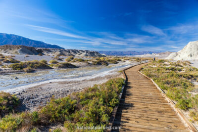
The short, unpaved side road to the Salt Creek Trail is on the right. This is a very interesting area, particularly when the creek has running water in it. A bizarre species of pupfish actually live in this stream. See Death Valley Hiking for more information.
Mile 57.6 – Beatty Cutoff Road
The Beatty Cutoff Road heads off to the left. This road runs 10 miles to join up with Daylight Pass Road, which crosses the Nevada border shortly before leaving the park and becoming NV-374.
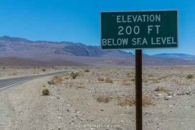
Mile 58.0 – Elevation -200 feet
A sign indicates the passing of the -200 foot elevation mark.
Mile 62.5 – Elevation -242 feet
The road reaches an elevation of -242 feet, which a small sign indicates is the lowest point covered by the California Highway System. Therefore, it is also the lowest point in the park reachable by road.
Mile 67.0 – Harmony Borax Works
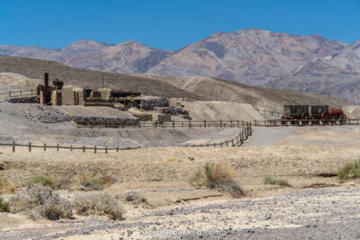
A short side road on the right leads to the Harmony Borax Works. This is a popular stop in the park, and is a good example of the many borax mines that sprung up in the area.
Mile 68.0 – Furnace Creek Campground
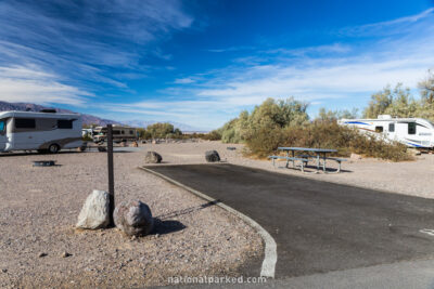
The short access road to the popular Furnace Creek Campground is on the right.
Mile 68.4 – Furnace Creek Visitor Center
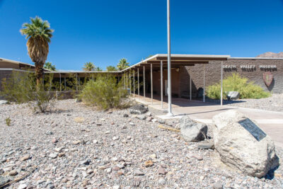
The Furnace Creek Visitor Center and the Death Valley Museum are on the right.
Mile 68.7 – Furnace Creek Ranch
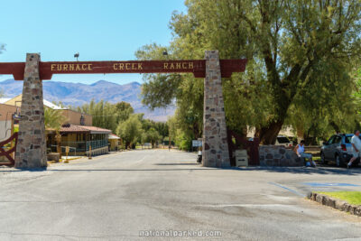
The Furnace Creek Ranch, one of two lodgings in the area, is on the right. See Death Valley Lodging for more information.
Mile 68.9 – Sunset & Texas Spring Campgrounds
The access road to the Sunset & Texas Spring Campgrounds is on the left. These campgrounds are typically closed in the summer months.
Mile 69.7 – Badwater Road
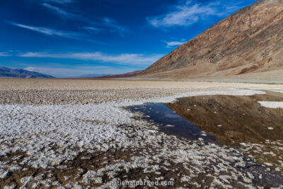
The Badwater Road heads off to the right. Several scenic areas lie down this road, including the Artist Drive and the Badwater Basin. See this road’s own page for more information.
Mile 69.8 – Furnace Creek Inn
The Furnace Creek Inn, the other lodging in this area, is on the left. Unlike the Furnace Creek Ranch, this facility closes in summer.
Mile 73.3 – Zabriskie Point
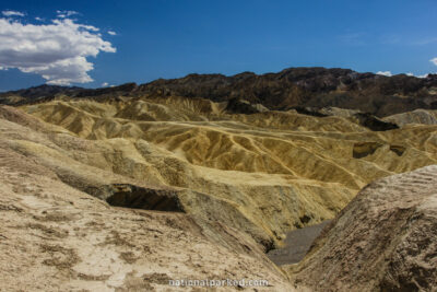
The parking area for Zabriskie Point is on the right. A very short trail climbs to an amazing panorama of bizarre, mostly golden colored badlands formations. This area is a favorite spot for photographers.
Mile 74.4 – 20 Mule Team Canyon Road
20 Mule Team Canyon Road is on the right. This is a one-way unpaved road, but it is normally in good shape and passable to normal cars. Trailers are not allowed. This road allows a close-up view of the canyon, much of which can be seen from nearby Zabriskie Point.
Mile 80.6 – Dante’s View Road
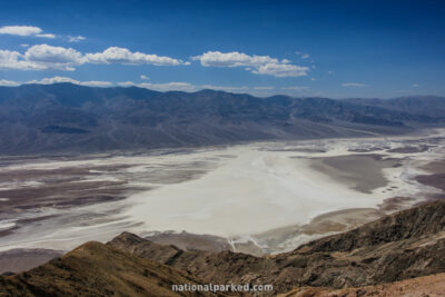
The paved side road to Dante’s View is on the right. This road leads 13.3 miles to a viewpoint high above the surrounding lands. The last half mile or so is extremely steep. Since the elevation here is 5,475 feet, it is much cooler than most of the park and is almost a required destination during a summer visit.
Mile 82.3 – Entrance Station
CA-190 finally reaches the eastern boundary of the park at the entrance station.
