National Park Maps
Below you’ll find National Geographic’s excellent national park maps, first the overall system map, then the list of every park they’ve created a Trails Illustrated map for. We hoard Trails Illustrated maps like they’re gold, and for an outdoors enthusiast, they sort of are.
- This page contains affiliate links. Purchases made through them may earn us a small fee.
- As an Amazon Associate we earn from qualifying purchases.
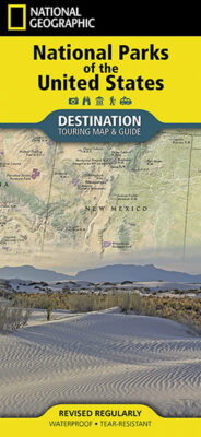
National Parks of the United States Destination Map

This is a nice folded map of the entire national park system, with units marked and a list of all parks. As is typical with National Geographic, there are lots of high quality photos and the map itself is made from durable material.
Available at Amazon
Trail maps for specific national parks
- Acadia
- Arches
- Badlands
- Big Bend
- Black Canyon of the Gunnison
- Bryce Canyon
- Canyonlands
- Capitol Reef
- Carlsbad Caverns
- Channel Islands
- Crater Lake
- Death Valley
- Denali
- Everglades
- Gates of the Arctic
- Glacier
- Glacier Bay
- Grand Canyon
- Grand Teton
- Great Sand Dunes
- Great Smoky Mountains
- Guadalupe Mountains
- Haleakala
- Hawaii Volcanoes
