Quinault North Shore Road
The Quinault North Shore Road provides access to the Lake Quinault area, as well as the Quinault Rain Forest. It shares some similarities with the Hoh Rain Forest, but is significantly less developed for hiking and visitation. The road is also unpaved for much of its length, though it remains a well-graded gravel road.
Mile 0 – Park Entrance
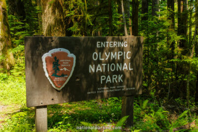
Just off of US-101 29 miles southeast of Kalaloch, the entrance sign welcomes you to the Quinault area of Olympic National Park.
Mile 3.2 – July Creek Picnic Area
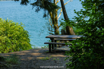
The July Creek Picnic area is on the right. This also provides access to Lake Quinault.
Mile 5.5 – Quinault Ranger Station
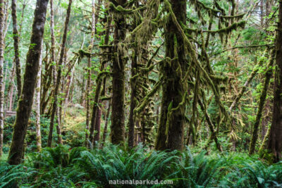
The road passes by the Quinault Ranger Station and access to the Quinault Rain Forest Nature Trail. Although not nearly as well known as the famed Hoh Rain Forest to the north, this is a beautiful walk through another area of temperate rain forest.
Mile 7.5 – Road changes to gravel
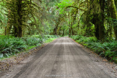
The road becomes unpaved at this point. The road is normally well-graded and suitable for passenger cars, but it may be a good idea to inquire at the ranger station before driving on. The photo at left is an example of the unpaved road.
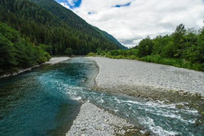
Mile 14.2 – Quinault River
The road temporarily becomes paved again as a bridge crosses over the Quinault River.
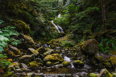
Mile 15.2 – Bunch Falls
Just before the road leaves the park boundary and enters Olympic National Forest is Bunch Falls, on the left. It is easily missed, but is a very nice waterfall right next to the road.
