North Rim Entrance Road
The North Rim Entrance Road leads from the north boundary to the developed area on the North Rim. Along the way, Cape Royal Road runs from the North Rim Entrance Road to Cape Royal. The North Rim area, including these roads, is generally closed from mid-October to mid-May each year due to snow.
Mile 0 – North Rim Entrance
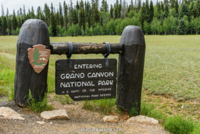
As Arizona Highway 67 crosses the park boundary, the entrance sign welcomes you to Grand Canyon National Park. 0.2 miles later the road arrives the the entrance station. The park entrance fee must be paid or a valid pass shown.
Mile 9.7 – Cape Royal Road
On the left is Cape Royal Road. This road leads to several very scenic viewpoints, including Point Imperial, Vista Encantada, Roosevelt Point, and Cape Royal itself.
Mile 10.0 – Widforss Point Trailhead
A dirt road on the right leads about a mile to the Widforss Point Trailhead. This trail runs through Transept Canyon and forest for 5 miles to Widforss Point.
Mile 10.6 – North Kaibab Trailhead
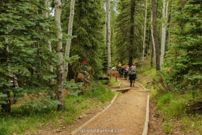
The road passes by the parking area for the North Kaibab Trailhead. This very popular trail leads down to the Colorado River within the canyon. Rim to Rim hikers can meet up with the South Kaibab Trail to reach Yaki Point on the South Rim.
Mile 11.6 – North Rim Campground
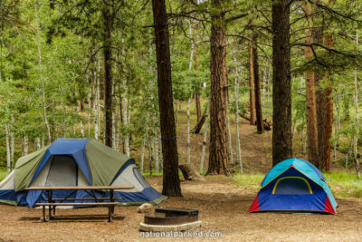
The entrance to the North Rim Campground is on the right. This is the sole developed campground on the North Rim and is very popular. For more information see Grand Canyon Camping.
Mile 12.6 – North Rim parking area
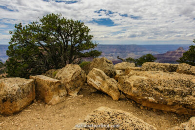
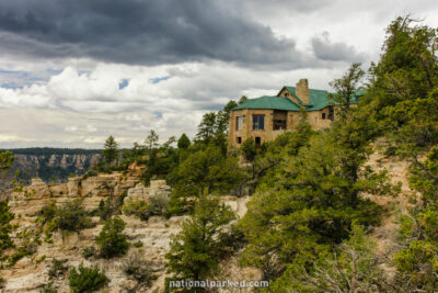
The road ends at the massive North Rim parking area. Here you will find the Grand Canyon Lodge, shown to the left, and its services, including food, fuel, and shops. Short walks lead along the canyon rim and give access to places such as Bright Angel Point.
