Old Faithful to Madison Section of Grand Loop Road
The Grand Loop Road in Yellowstone is the main method of travel through the park. It is shaped like a giant figure eight. Sections of this road are usually referred to by the two “junctions” that the section runs between. Below is the description of the road between Old Faithful and Madison Junction. For an index of all road sections in the park, see the Yellowstone Roads index.
Mile 0 – Old Faithful Interchange
From the Old Faithful Interchange, the Grand Loop Road heads to the east on the West Thumb to Old Faithful section and north to Madison Junction, as described below.
Mile 0.4 – Black Sand Basin
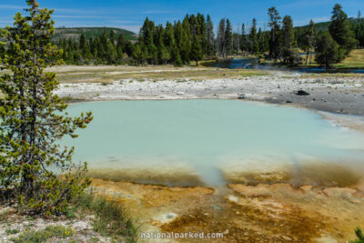
The parking area for Black Sand Basin is on the left. This is a nice thermal area with many outstanding features.
Mile 2.0 – Biscuit Basin
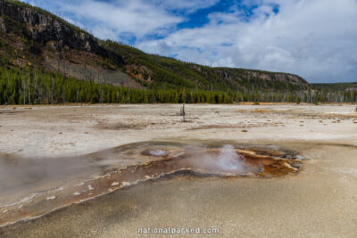
The parking area for Biscuit Basin is on the left. This is another small thermal area, named for formations that existed here until they were destroyed by an earthquake. Several thermal features can be seen, including the Wall Pool, shown to the left.
Mile 4.4 – Fairy Falls Trailhead
A good sized parking area on the left is for the Fairy Falls Trail. This trail leads less than two miles to Fairy Falls. Along the way is a good view of the Grand Prismatic Spring in the Midway Geyser Basin.
Mile 5.9 – Midway Geyser Basin
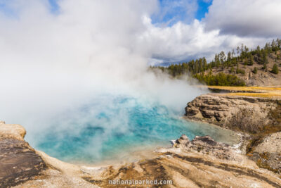
The road passes by the large parking area for the Midway Geyser Basin. Some of the largest features in the park are here, including Excelsior Geyser Crater, pictured to the left.
Mile 6.8 – Firehole Lake Drive entrance
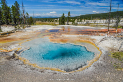
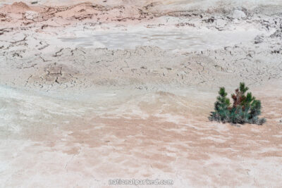
The entrance to the one-way Firehole Lake Drive is on the left. This road goes by several interesting thermal features, including Firehole Spring, shown to the left.
Mile 7.8 – Fountain Paint Pots
The Fountain Paint Pots Thermal Area is on the left. In addition to the paint pots themselves are a number of pools and geysers. Almost across the road is the exit of the one-way Firehole Lake Drive.
Mile 9.5 – Mary Mountain Trailhead
The road passes the parking area for the Mary Mountain Trailhead. This is an access to several long hikes.
Mile 10.4 – Fountain Flat Drive
The Fountain Flat Drive is on the left.
Mile 11.5 – Firehole River Picnic Area
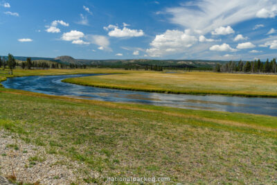
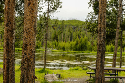
The road goes by the Firehole River Picnic Area.
Mile 15.6 – Firehole Canyon Drive entrance
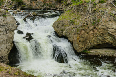
The Firehole Canyon Drive leaves the road to the left. Several scenic spots are along this drive, including Firehole Falls, pictured to the left. There is also a swimming area on the Firehole River.
Mile 16.1 – Madison Junction
The road arrives at Madison Junction. A right turn enters the Madison to Norris section. A left turn joins the West Entrance Road which leads to the town of West Yellowstone, Montana.
